Home Sensing Primer Glossary Physics Related Technologies Acknowledgements
Instrument profile: AVIRIS--Airborne Visible InfraRed Imaging Spectrometer
AVIRIS is a hyperspectral device that flies on either low-altitude missions (Twin Otter turboprop at an altitude of approximately 4 km,
130km/h) or high-altitude missions (modified U2 NASA ER-2 jet at an altitude of approximately 15-20 km, 730 km/h). The mission emphasis of this
device is to obtain accurate, quantitative characterizations of surface composition and features. AVIRIS is operated by NASA (USA), and data
are still being acquired.
Obtaining AVIRIS data is not trivial. A proposal must be submitted for review, and each proposal's merits are determined by panel review.
Exact timing of data harvesting cannot be predicted. Archived data from previous observations may also be purchased.
Usefulness to land managers
AVIRIS data has great potential for land managers, especially those seeking to classify vegetation structure on a one-time basis.
However, because of the significant time-overhead in terms of submitting proposal, AVIRIS is not a feasible option for those who
would like to use remote sensing as a convenient way to obtain imagery on short time scales, or to repeat imagery to look for
seasonal changes.
Costs and Contacts
http://aviris.jpl.nasa.gov--AVIRIS home page, for research proposals.
New data requests cost about $70,000 ($64,000+$6000 per flight hour of the ER-2)
Archived (old) data may be purchased for $500 per flight line.
Sample images
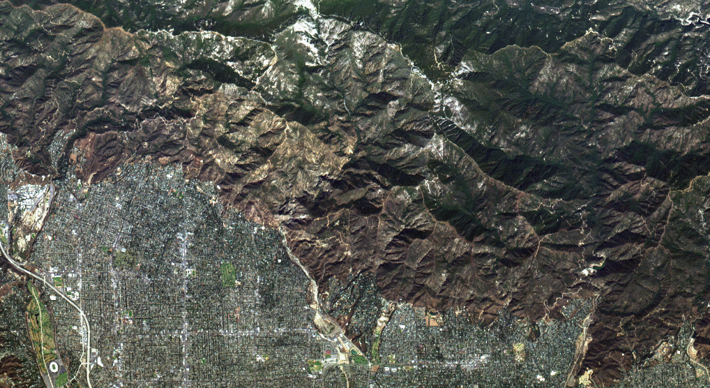 True Color/Pasadena |
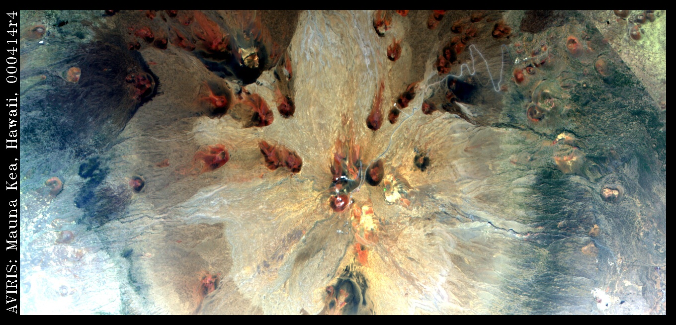 Quicklook/Mauna Kea |
Useful Web Sites
http://speclab.cr.usgs.gov/aboutimsp.html--AVIRIS image reduction tutorial
Technical Specs
| Spectral data characteristics: | |||
| # of channels (bands): 224 Bandwidth/channel: 10 nm Total spectral coverage: 380-2500 nm |
|||
Areal data characteristics: |
|||
| Mission type | Pixel size | Image swath width | Image swath length |
| Low-Altitude | 4 m square | 1.9 km | 10 km |
| High-Altitude | 20 m square | 11 km | 100 km |
References
http://aviris.jpl.nasa.gov (and subpages)--accessed 15 Sept. 2004